
Newton Point - Northumberland Walk
Friday 26th April 2024
The best of the weather was forecast to be by the coast so we headed across to Craster to do a walk from there only to find the car park was shutting early for roadworks. As this was before we would have got back it was a case of driving along the coast until we found somewhere to park where we could also walk from.
Start: Newton Links (NU 2353 2600)
Route: Newton Links car park - St Oswald's Way - Newton Point - Low Newton - St Oswald's Way - Embleton Links - Low Newton - Newton Point - Newton Links car park
Distance: 4.25 miles Ascent: 102 metres Time Taken: 3 hrs 20 mins
Terrain: Clear flat, sandy paths
Weather: Sunny with a cold northerly wind
Pub Visited: The Ship Inn, Low Newton Ale Drunk: Ship Inn Brewery, Ship Shape Bitter
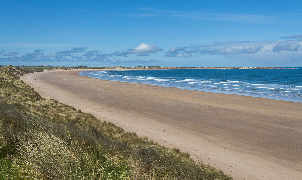
Having found a car park next to the coast we had to make the walk up as we went. To start with we followed the path to the sand dunes and got our bearings before we decided which way to go. Here looking across Beadnell Bay to Beadnell.
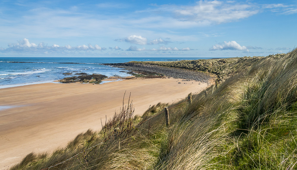
Having checked the map we opted to head away from Beadnell Bay and follow what looked like a more interesting stretch of coastline towards Low Newton.

Looking inland we can see Lookout Cottage the old Coastguard Lookout which was built in 1822 to help combat smuggling.
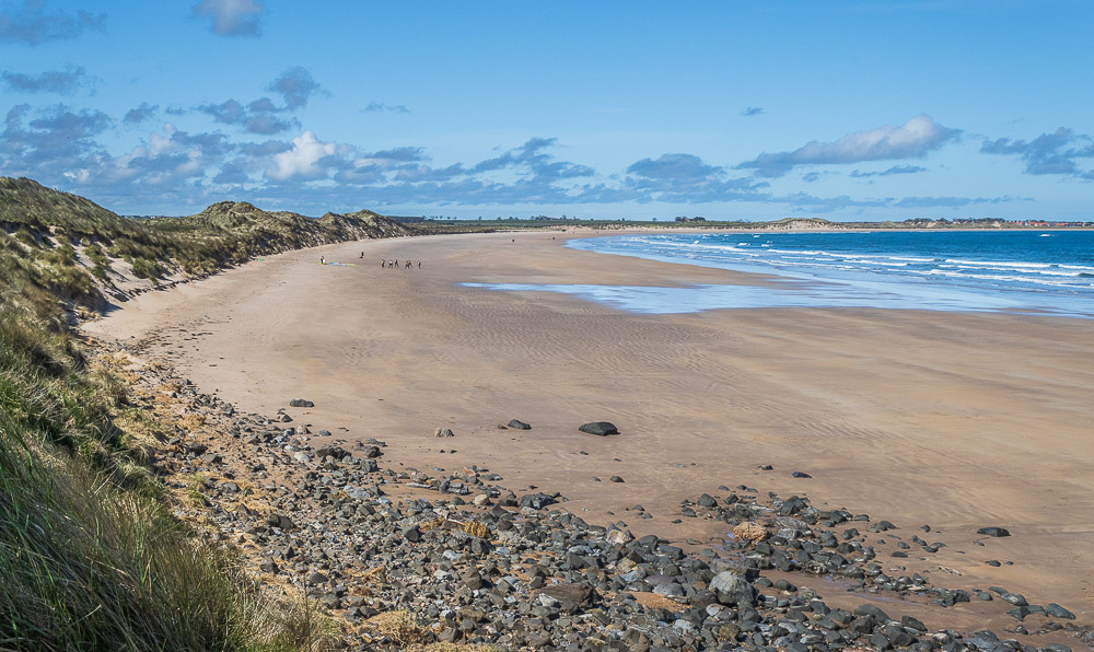
On the beach the surf school has started. We were talking to some of the surfers in the car park and would spend some time taking some shots of them surfing when we finished the walk.
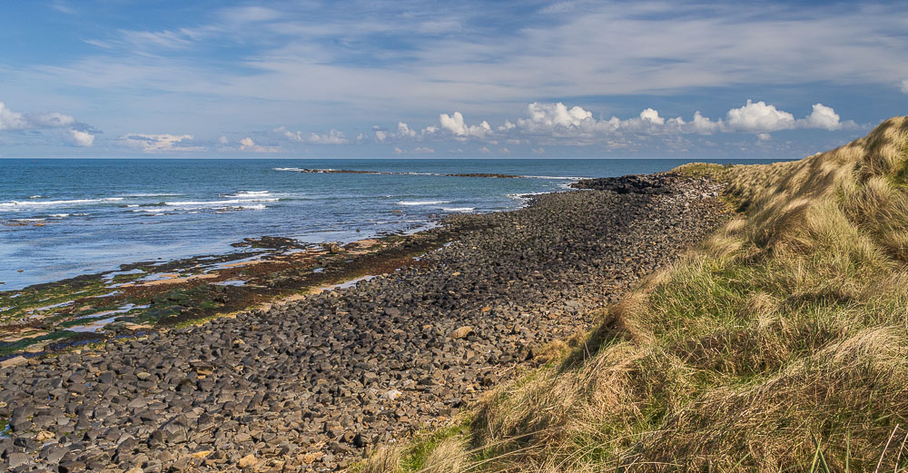
Looking across the water we can see the rocks of Snook Point.
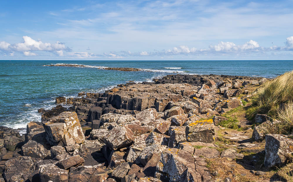
We cant work out yet if the tide is coming in or out, but it does appear to be throwing up some interesting spray as it hits the rocks.
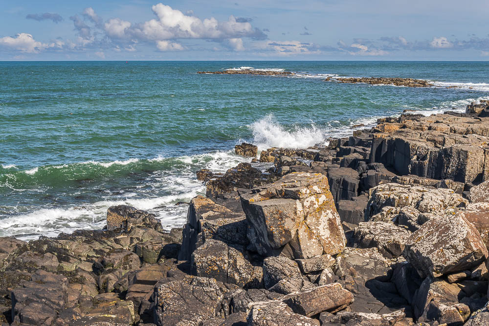
We spent some time trying to capture some of the bigger waves, this was the best I got.
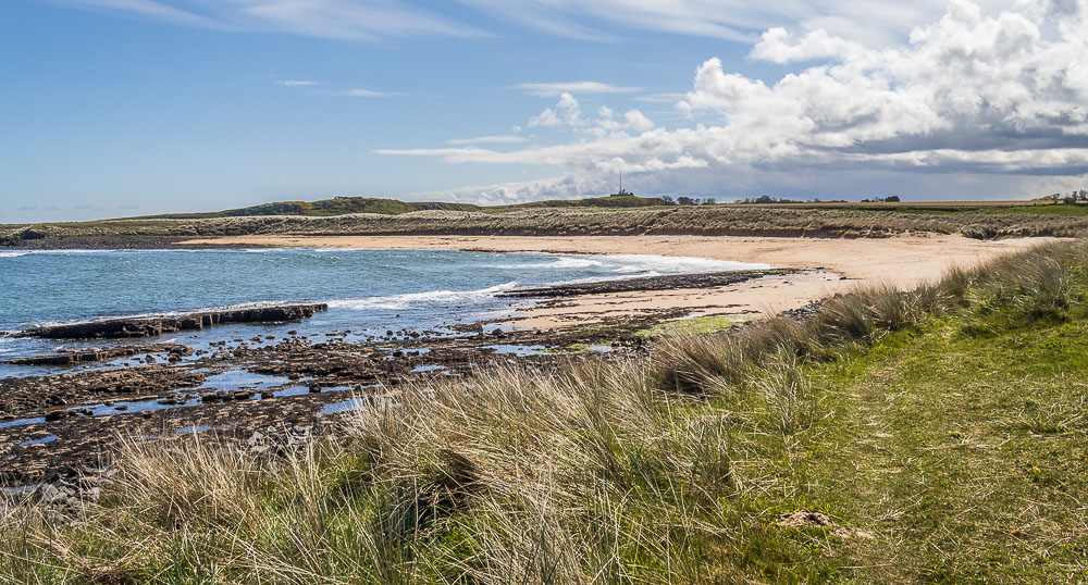
We leave Snook Point and start to walk along the coastal path and are soon looking at another beach, this one is Football Hole.
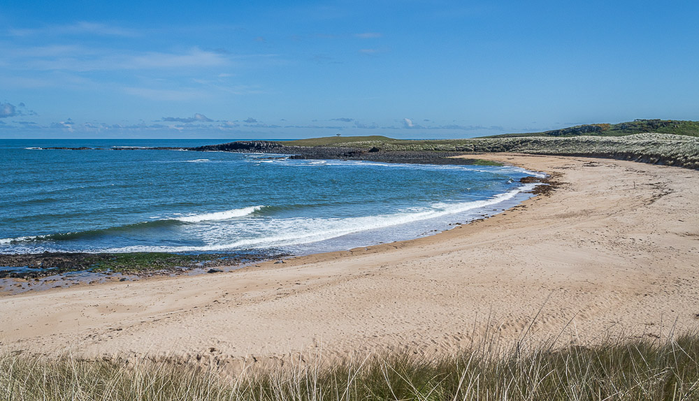
Looking across the deserted beach of Football Hole to the next rocky section, the headland of Newton Point.

We briefly rejoin St Oswald's Way as the track we are following takes us back inland and up the steps ahead.
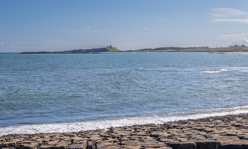
Once we have climbed the steps we get our first view of Dunstanburgh Castle.
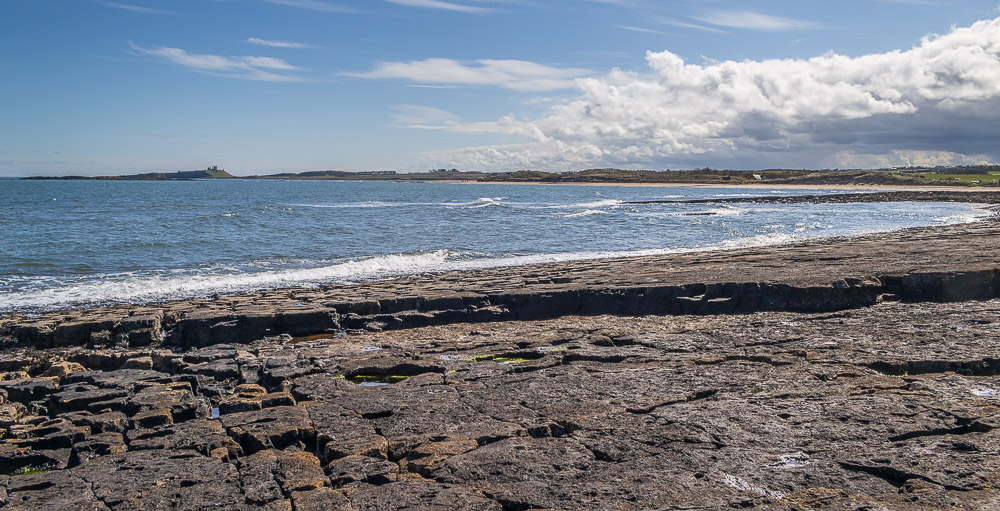
Once we have crossed the headland at Newton Point we find a suitable spot on the rocks looking across the bay to Dunstanburgh Castle for our lunch.
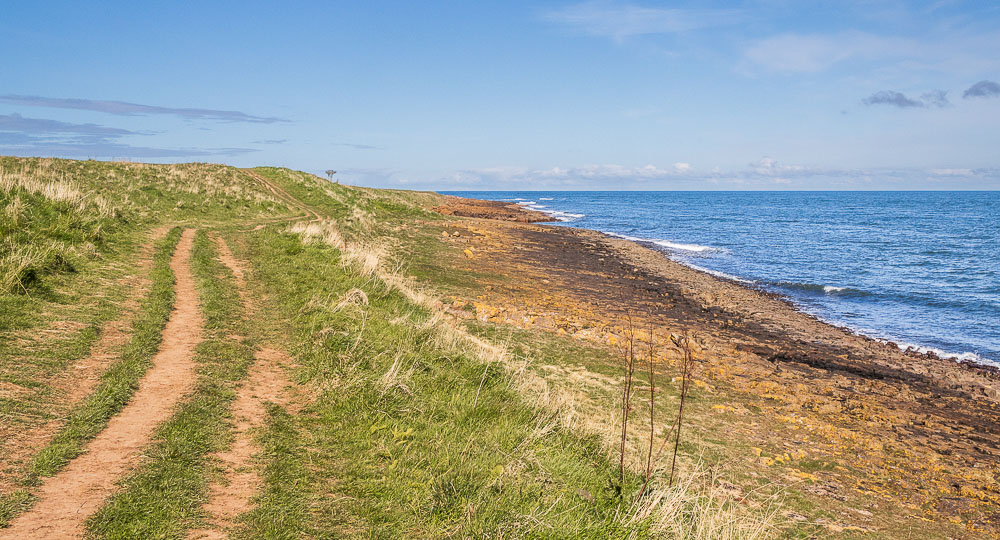
Looking back at our lunchspot as we return to the path along the coastline. Whilst we were sat having lunch we were able to work out that the tide was coming in as the sea had started to get closer to us as we sat watching it roll up the crevices in the rocks.
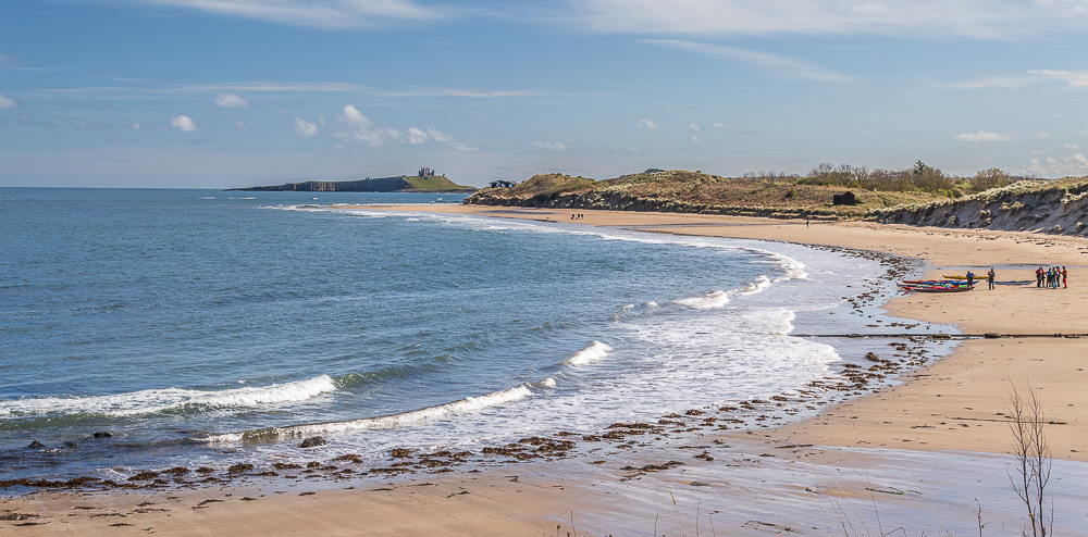
Looking across the beach of Newton Haven as we approached the village of Low Newton.
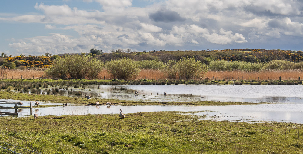
Once we reached Low Newton we rejoined St Oswald's Way and followed the footpath around the back of some cottages to Low Newton Pool, a nature reserve.

As we walked along the track, which was taking us away from the coast, we followed a couple who appeared to be pushing their weekly shopping in a wheelbarrow and we wondered where they were heading.
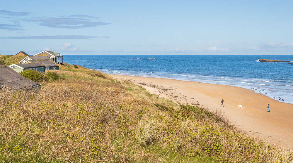
We soon found out when the track once again reached the coast and we can see these huts overlooking the beach. Built in the 1930's the huts don't have any electricity and everything has to be carried to them along the track we followed. All rubbish has to do a reverse trip.
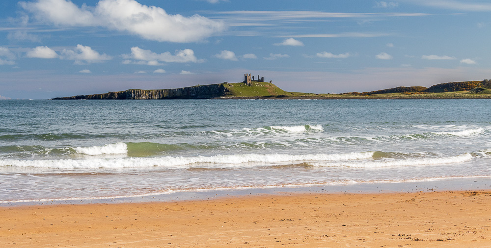
This was as close as we got to the castle today. My original plan had been to visit it after our planned walk as it is much closer to the car park in Craster, where we had intended to park.
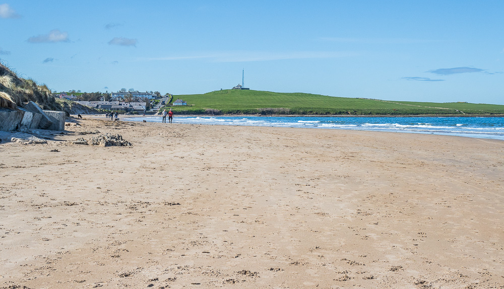
We had manged to locate the steps down onto the beach from the huts, so we started our return journey with a walk along the beach to Low Newton.

We enjoyed a pleasant walk along the beach, made much easier by being able to walk along the damp sand, rather than the dry sand, which makes walking such hard going.
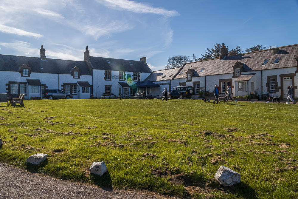
When we reached the hamlet of Low Newton we spotted the pub tucked into the corner of the cottages we had previously walked around the back of. Seems like a nice spot, shall we have a pint?
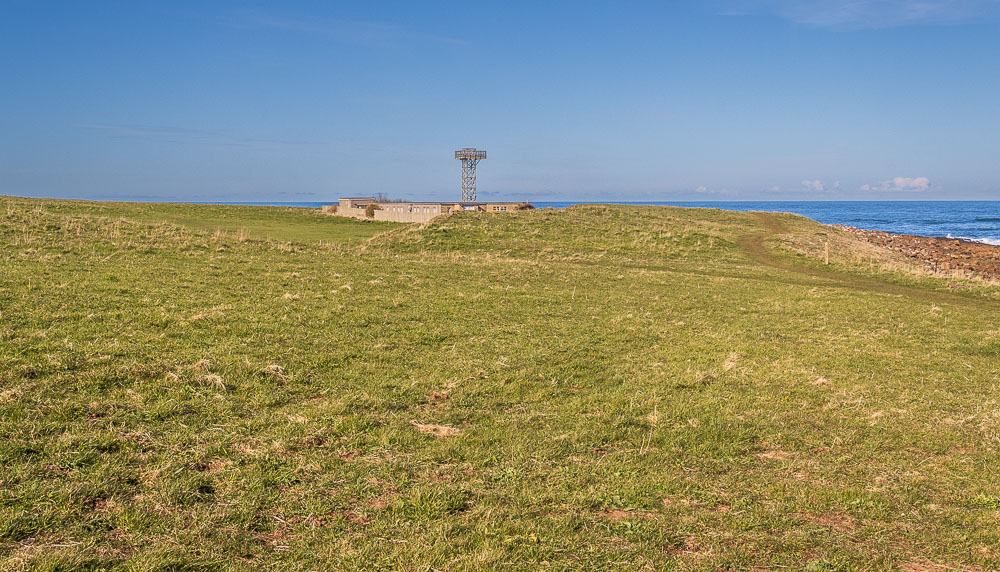
Suitably refreshed we continue our walk and rather than cut across the headland we take the path around the edge, walking by the former M.O.D building and the remains of the radio masts which were once here.
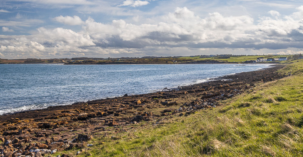
Walking along the edge we can see that the rocks where we had sat earlier eating our lunch have now disappeared below the sea.
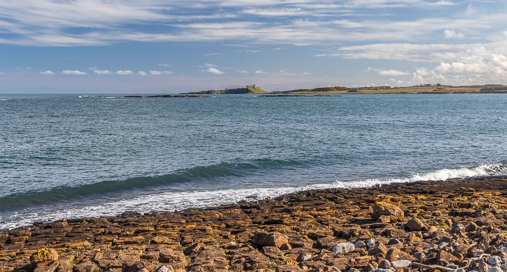
Looking across the bay we get our last view of Dunstanburgh Castle.
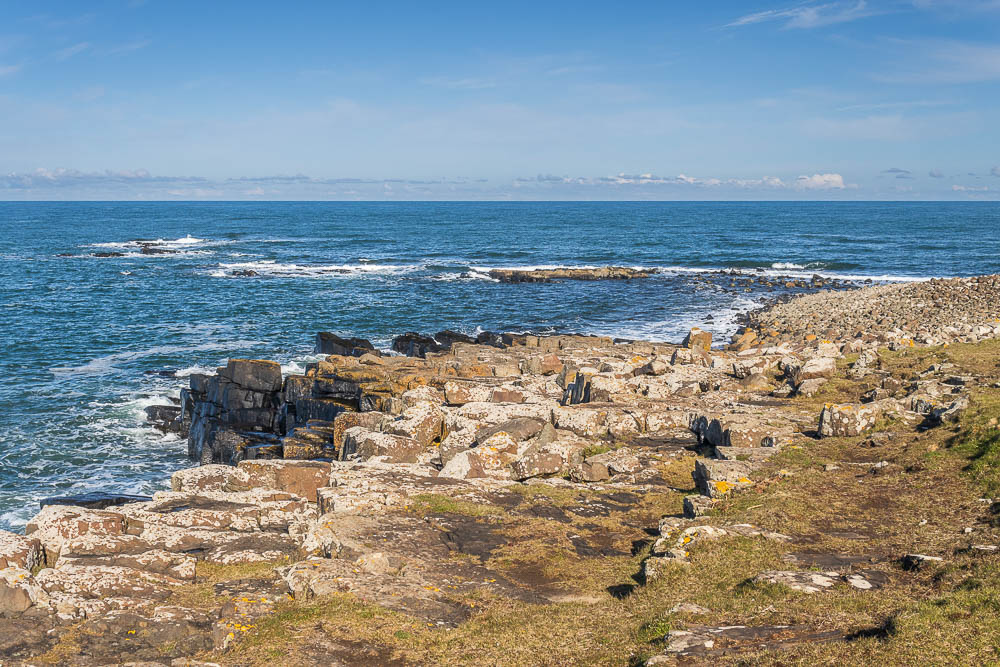
We stick to the path and get to enjoy the rocks on the headland named as Lobster Carr and Pen Carr on the map
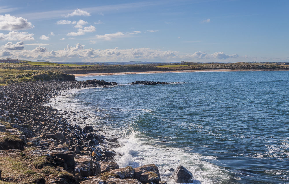
Football Hole comes into view again.
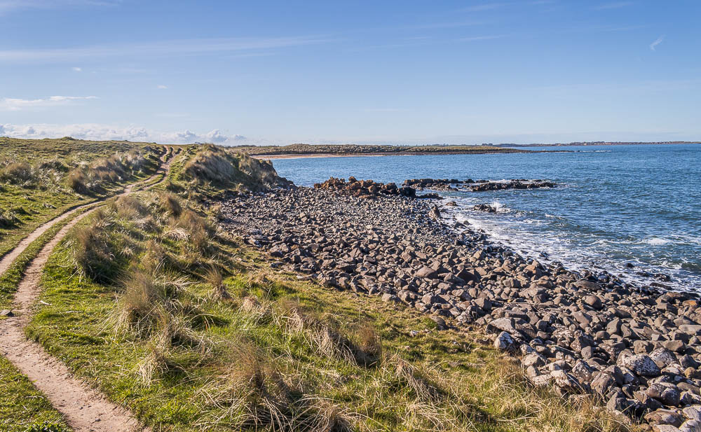
By following the track around the headland, we miss out on the steps inland and soon find ourselves approaching the beach of Football Hole, from where we retrace our steps back to the car.
I know I took some more photos of this section but for some reason I have not uploaded them properly and they are now lost. Not that the views had changed much, but I had spent time getting some better shots of the sea hitting the rocks at Snook Point.
All pictures copyright © Peak Walker 2006-2024